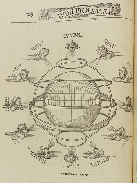
Even when we cannot see them, graticules provide the basis for modern mapping. Encompassing the whole grid created by lines of longitude and latitude, graticules are the scaffolding that holds the rest of the map in place. The reintroduction of polymath Claudius Ptolemy’s (100? AD - 170? AD) system of mapping with graticules fundamentally changed how Europeans created maps beginning in the fifteenth century. Ptolemy’s methods led to centuries of experimentation with mathematical projections. With different projections of the sphere of the Earth onto a flat piece of paper, this grid bends and stretches to preserve the mathematical relationship between locations on the map.