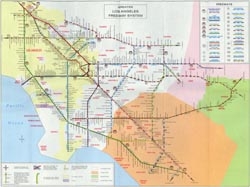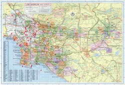
| The Geography of American Communities Map 18 - Metropolitan Los Angeles, 1979 | |
Highway maps are designed principally to help people get around, but they also provide general information about the communities they depict. In these lessons a 1979 Rand McNally highway map helps students explore the cultural, historical, and physical geography of metropolitan Los Angeles.
Lesson Plans
Resources (including supplemental images)
|
||||
| ||||

