 |
| The Historical Geography of Transportation
Map 11 - The Transcontinental Rail Network, 1878
|
|
|
|
|
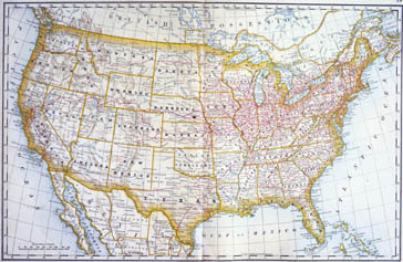
Core Map: "Rand, McNally & Co.'s United States" in Rand McNally & Co.'s Business Atlas, (Chicago: Rand McNally, 1878). Newberry Library Call No.: Rand McNally Collection, Atlas Collection, Commercial Atlas 1878
|
|
The railroad network of the United States grew rapidly in the decades after the Civil War, particularly in the states west of the Mississippi River. Using a general map of U.S. railroads in 1878 as its base, these lessons examine the geographic, political, and economic factors that influenced the growth of this network.
Lesson Plans
K-2 - Go West
3-5 - People, Goods, and Railroads
6-8 - Prairie Schooner and Iron Horse
9-12 - Debating the Transcontinental Railroad
|
| | © 2002, 2003 The Newberry Library |
| |
|
