|

Picturing England
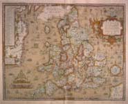
Englishmen of the Tudor period took an interest and pride in visualizing their land. Maps acquired an increasing importance in the sixteenth century as the sciences of geometry and geography developed side by side. For England, the accurate mapping of domestic and foreign territories became a matter of political, military, economic, and cultural significance.
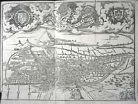
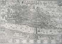
As the towns and cities of England grew, it likewise became important to depict them using new visual technologies. Military commanders needed accurate views of fortifications, while printed city views usually concentrated on economic and social information.
Return to Elizabeth's England
| |